OpenStreetMap
Free Vector Maps
I have no idea why this gem could go unnoticed by me for so long, but yesterday a colleague pointed out to me the map service OpenStreetMap. Similar to Wikipedia, many users compile a free map for everyone.

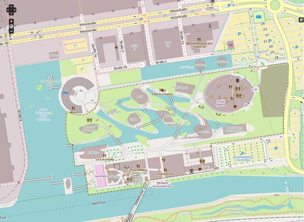
The scope of OpenStreetMap is breathtaking. Vector data are available for large parts of the world, which in some areas are so detailed that not even Google Maps could keep up. Footpaths, beaten tracks, traffic lights, power lines. Everything is drawn in on OpenStreetMap.
And everyone is invited to add places, places or names – or, if you own a GPS device, also to drive off or go down distances and then put online.
OpenStreetMap offers different layers of maps in different degrees of detail, export capabilities to countless formats, including vector formats, and all map data is under a Creative Commons license available. A model project that brings a lot of benefits for everyone!
Registration requires only a few clicks, then you can edit the maps and help refine everything.
The Wiki is very comprehensive and available in many languages.
There are even Screencasts in the wiki, which introduce into the use and operation of the project.
In parallel, one can use the service OpenRouteService, which is based on map data from OpenStreetMap, and can be used to calculate routes, even for bicycles and pedestrians.
With these fantastic maps Google Maps will probably used less by me in the future, especially if you want to process the data, what Google’s license terms prohibit.